The isohyet joins points of equal average annual precipitation
Isoyeta is a term that comes from the French word isohyète . The etymological root of this word from the Gaulish language , meanwhile, includes the prefix iso- (which refers to something that is “equal” ) and the Greek concept hyetós (translatable as “rain” ).
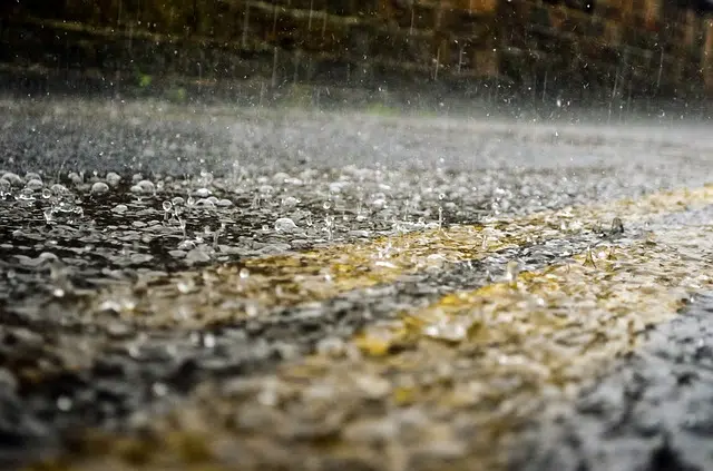
Rainfall curve
The idea of isohyet is used in the field of meteorology to name the curve that allows representing at a cartographic level the terrestrial points that share the same indicator of average annual rainfall . It is an isoline that links, on a cartographic plane, all the points where the same precipitation is recorded in a year or even in another time period.
Before moving forward, it is important to note that an isoline is a curve that makes it possible to connect the points at which a function has a certain constant value . The isoline is also called isogram or isopleth .
Returning to the meaning of isohyet, this is the name of the line that is drawn on a map to join the points that receive equal amounts of precipitation in a year or in another period. Suppose that a city A in Europe registers the same annual level of rainfall as a town B in America . Both points ( A and B ) can be joined by an isohyet.
It is common for isohyets to be mentioned according to the millimeters of precipitation at the points they link. Thus we can speak of a 500 mm isohyet , an 800 mm isohyet , etc.
Other isolines
Isohyets are not the only isolines that appear on weather maps. Isobars (relating points with the same atmospheric pressure ), isotherms ( same temperature ) or isohypses ( same altitude ) can also be drawn, for example.
As can be seen, the prefix iso- appears in all of them, precisely because the variable has a constant value . Expanding the definitions of these three types of isolines a little, the isobar (which can also be written with an accent on the O ) does not always relate points of equal atmospheric pressure, although exceptions are very rare. This property is expressed in the unit called bars .
The usefulness of isobars is to provide information on a weather map about the strength and direction of the wind in a given region. Regarding isotherms, several can coexist in the same area, since each one can refer to a different period, which is usually a month, or to the annual average.
The third is the isohypsa, which is usually drawn on a surface where equal atmospheric pressure is also recorded, that is, it is isobar. The unit of measurement used to express it is the geopotential meter , which is not much different from the meter. On a weather map, it is noted in geopotential decameters , meaning that the value is equivalent to that expressed in meters divided by ten.

To relate the depth of the river there is the isobath
History of isolines
The first evidence of the use of lines to relate points of equal values on a graph dates back several centuries. For example, we have a map from 1584, designed by Pieter Bruinz , in which you can see isobaths (joining points of equal depth) of the Spaarne River, in North Holland.
We can also refer to Edmond Halley 's graph, from the year 1701, in which we find isogonal lines to express the magnetic variation of the planet. Two and a half decades later, in 1727, Nicholas Cruquius published an isobath map of the River Merwede.
Although the first applications of isolines focused on properties that were relatively tangible or easy to observe through sight, over the years and centuries scientists began to take advantage of them to relate all types of variables , and a clear example of This is the isohyet: while we can see the depth of a river, we cannot see the average annual rainfall.