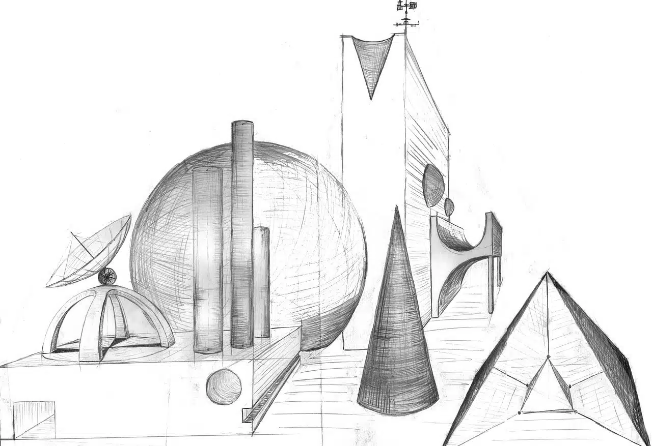
In a conic projection, all the projected lines meet at the same point.
The conic projection is the result of directing all the projecting lines towards the same point . All the lines that are projected, therefore, converge in the same place.
Before delving into establishing the meaning of the concept, it is necessary that we know the etymological origin of the two words that give it shape:
- Projection comes from the Latin proctio , which means “to throw forward.” It is made up of the sum of the prefix pro- (forward), the verb iacere (throw) and the suffix -cion (action and effect).
- Conical , on the other hand, derives from the Greek konikos , which can be translated as “cone-shaped.” In his case, it is the result of having joined the word konos (shaped like a pineapple) and the suffix -ico , which indicates “relative to” .
Conical projection concept
Projection is a term that can be used in various ways. The term comes from the verb to project , which refers to planning something, pushing something forward or making an object visible on the figure of a different body.
There are different types of projections, such as the orthogonal projection and the financial projection . As for conical , it is an adjective that qualifies what is linked to a cone (a geometric figure that is created from the rotation of a right triangle on one of its legs).
The conical projection , in this framework, is a graphic representation scheme that allows images to be faithfully reproduced, since it offers a result that resembles what the eye perceives. What is done is to project a three-dimensional body onto a plane, making the projecting lines converge at the same point. This resulting representation is similar to what we would observe if we were located at that point.
The conical projection is frequently used to carry out both the creation of maps and the realistic representation of drawings of objects of various kinds. Likewise, it must be taken into account that elements such as the object, the projectors, the projection plane or the observation point play a special role.

The conical projection provides a result similar to what the human eye perceives.
Classification according to type
The projection of elements found in the Earth's sphere onto a tangent cone, using the axis that links the poles as a vertex , is known as a cartographic conical projection . When the projection is carried out on a secant cone, it is called a simple conic projection .
One of the best-known types of projections of this kind is the azimuthal or zenithal projection. This name refers to what is developed by projecting a part of the Earth onto a flat disk, which is tangent to the globe at a specific point. The result obtained is the image of the planet that would be seen from a place outside it or from the center.
