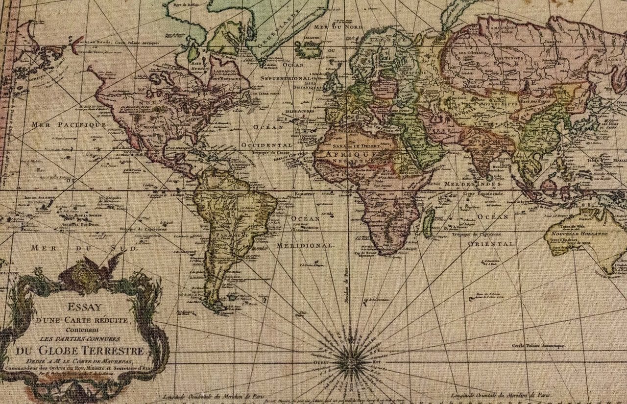
A cartographic projection links the points on the Earth's sphere with the points on a map.
The cartographic projection is a graphic representation scheme that links, in an orderly manner, the points of the Earth's sphere with the points of a map (in which the image in question is reflected).
It must be considered that projecting is the action of making an object visible on the figure of another, of pushing something forward or of planning. The result of these actions is called projection .
There are, therefore, different types of projections according to the context. We must remember the meaning of conic projection , which consists of the direction of all the projecting lines towards the same point. This means that all the projected lines converge in a single space. The main advantage that the conical projection offers as a graphic representation is that it reproduces the images in a way similar to what is perceived by the eye.
Types of cartographic projection
Within the conic projections, we find the conic cartographic projection . This concept refers to projecting the elements found in the Earth 's sphere onto a tangent cone, using the axis that unites the two poles as a vertex.
The cylindrical cartographic projection , for its part, involves the projection of the Earth's sphere onto a cylinder. Like other cartographic projections, this one causes certain distortions in the resulting representation .
The zenith or polar cartographic projection , on the other hand, consists of projecting a part of the Earth on a flat surface, tangent to the sphere. This makes it possible to obtain an image similar to what would be perceived of the planet by observing from a certain point.

There are different types of cartographic projection.
Other classifications
In addition to the classification of cartographic projection exposed so far, which is based on the type of surface on which it is carried out (a cone, a cylinder or a plane), it is also possible to analyze the way in which the points are arranged in the projected image in relation to its original location, which allows us to speak of oblique , secant or tangent . On the other hand, if we focus on the graphic differences of the different territories, we can distinguish between the following three types of projection:
- Equidistant : if the distances remain intact.
- Equivalent : if the surfaces are not modified after the projection.
- Eonforme : if the angles and, consequently, the shapes are conserved.
It is important to note that these three properties cannot coexist in a map projection. For this reason, it is necessary to choose the type that best suits the needs of the job, or find the appropriate combination. In fact, most current maps are made using what are known as modified projections .
Modified map projection
Modified projections usually have more than one focal point and are characterized by seeking the elimination of distortions in certain areas, even if this causes others in places that are considered of lesser importance, which generally occurs in the parts that occupy the different oceans . Some of the most used are the Lambert polyconic projection , in the field of education, and world maps (among which is the terrestrial planisphere ) according to the Winkel-Tripel and Mollweide projections, easy to recognize given their elliptical shape. .
Although we might tend to think that the world map offers the most accurate cartographic projection, it is not free of distortions and retouching, especially in the polar areas. To make the map look nice and harmonious, several sacrifices are made. The projections of Aitoff , Bernard JS Cahill , Goode and Van der Grinten stand out in this group.