A promontory is an accumulation of land that can reach a high height.
Promontory is a notion used to name an earthy accumulation that reaches great heights or that extends into the ocean. The term finds its etymological antecedent in the word promontorium .
It can be said that a promontory is an elevation of land with respect to others that are lower down. The promontory can also emerge from a water surface.
Geological origin of the promontories
The geological origin of the promontories is due to the action of erosion .
Erosive agents act on the different layers of rock: those rocky areas that are harder resist erosion better and end up standing out from the rest of the rocks, becoming promontories.
The promontory can be mentioned as a rock.
The Rock of Gibraltar
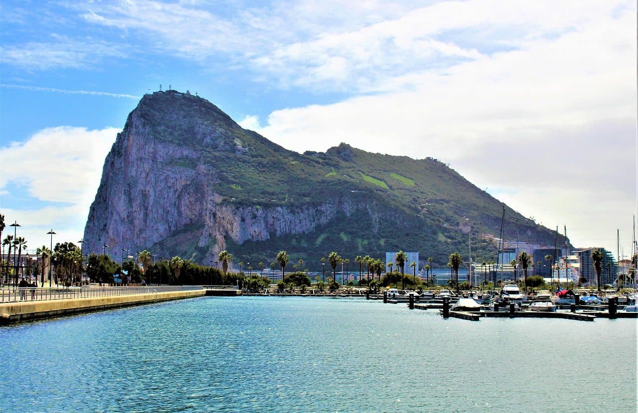
The headlands may be known as rocks . One of the most famous in the world is the Rock of Gibraltar , a limestone promontory whose summit is 426 meters above ocean level. It is located on the Iberian Peninsula , in the southwestern European region and borders Andalusia in its extreme north.
The Rock of Gibraltar is also known as the Pillar of Hercules . Regarding its history , in 1713 it was transferred to the Kingdom of Great Britain through article ten of the Treaty of Utrecht (a series of treaties signed by Utrecht , a Dutch city, and Rastatt , Germany , between 1713 and 1715 ; it was also known as the Peace of Utrecht ), after the War of the Spanish Succession , which took place mainly due to the death of Charles II of Spain without leaving any remains. and ended with the signing of said treaty.
The Rock of Gibraltar nature reserve, which occupies its upper part, is home to two and a half hundred Giralbar macaques, the only species of primate that exists in the wild on the European continent. The countless tourists who come to this promontory annually have as their main objectives the observation of these animals and a network of labyrinthine tunnels that characterizes it.
The Ifach promontory
Another well-known promontory is the Peñón de Ifach (the "ch" is pronounced like a "k" ), located in Alicante ( Spain ). This rock has been established as a natural park that houses various plant and animal species. Its surface occupies 45 hectares and its altitude reaches 332 meters.
The Peñón de Ifach presents an abrupt descent towards the sea ; A detrital isthmus (waste, generally permanent solid, that originates from the decomposition process of animals and plants) joins it to the continent. Since it is considered a third-order geodetic vertex (a point that is used to find an exact geographical position), this rock has been used for the triangulation of the country.
The climate of the Peñón de Ifach is Mediterranean and there is usually an average level of precipitation of 500 mm annually, although it is highly irregular. Its temperature ranges between 10 and 26 °C, with extremes that are easy to bear, both in winter and summer. In addition to a varied vegetation, which includes palmetto, sea grapes and honeysuckle, it has animals such as the peregrine falcon, the gannet and the yellow-legged gull. From the top of this impressive promontory, which can be easily accessed via two highways, it is possible to see Cape Santa Pola and the island of Formentera .
Construction of castles and forts
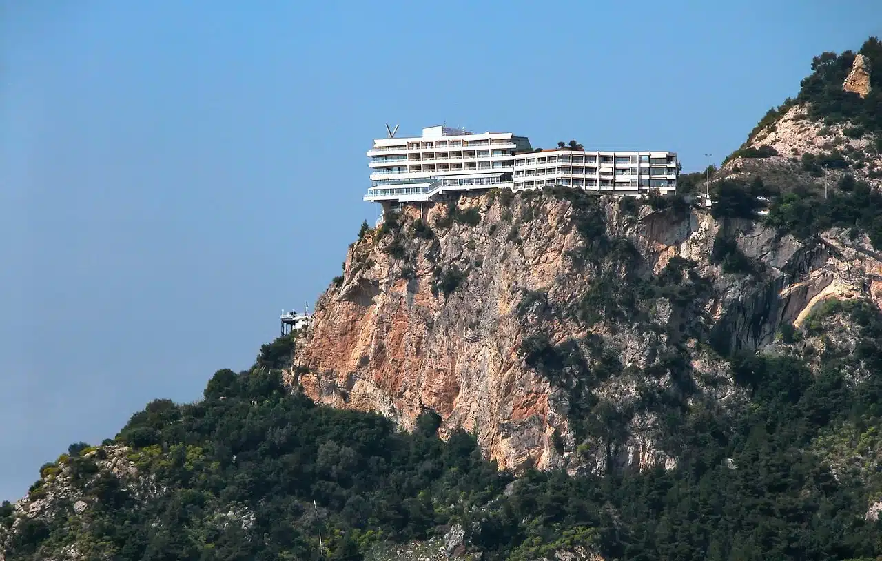
Due to their natural characteristics, many headlands have been used for the construction of castles and forts .
The promontories offered the necessary height for these buildings to acquire a unique defensive capacity, since those who were inside could observe those who approached on the plain. On the other hand, being at the top of a promontory, they were buildings that were difficult to access. Benidorm Castle is an example of this type of work .