
The geographical position is associated with a terrestrial location.
Position is the pose or posture of something or someone. The concept can also be used with reference to its layout or location . Geographic , for its part, is an adjective that names what is linked to geography (the science that is responsible for describing our planet).
The notion of geographical position , therefore, is associated with a location on Earth . By knowing the geographical position of a city, for example, it is possible to locate it on a map and know where it is.
Determination of a geographical position
To determine the geographical position, two coordinate axes are used. On the one hand, the latitude of the point in question is measured (through lines known as parallels ) and, on the other, the longitude (whose lines are meridians ). From this coordinate system , any point on the Earth's surface can be located.
The points located north of the equator are identified as N (for North ), while those located south of this line are named S ( South ). It should be noted that the degrees of latitude range from 0 to 90, with the equator at 0° latitude . Longitude 0° , for its part, is the Greenwich meridian, and the points are divided according to whether they are west or east.
The case of Madrid and Barcelona
Take the case of Madrid , the Spanish capital. The geographical position of this city is 40°25″08″»N 3°41″31″»W . Barcelona , another city in Spain , is located in the geographical position 41°22″25″»N 2°10″37″»E .
If we compare both geographical positions, we will notice that both locations are north of the equator; Madrid is to the west of Greenwich and Barcelona to the east.
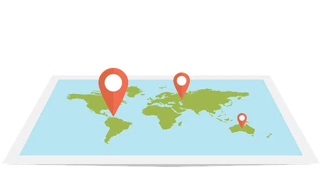
Two coordinate axes allow defining a geographical position.
Geographic position and location
There are certain concepts related to geographical position, some of which are often mistakenly used interchangeably. Firstly, there is geographic location , which encompasses all the methods used to study geographic context, such as the use of geographic coordinates mentioned above; In short, geographic position is one of the results of applying some geographic location technique .
The geographical position makes it possible to locate a point on the planet through absolute values , that is, not relative ones; a point that is defined taking into account latitude and longitude, and that cannot be interpreted in two different ways, but always leads to the same place (unless the Earth suffers considerable alterations on its surface, of course).
Dispersion, concentration and gradients
On the other hand, there are certain concepts that offer relative results, such as dispersion or concentration , which characterize the distribution of a geographic phenomenon , classifying it as dispersed or concentrated ; This is used, for example, to study the location of industries or water wells in a certain region, or the way in which houses are spread out in a rural area.
Gradients (a vector field that allows us to determine the direction in which a variation occurs most quickly, as well as the rate of said change) allow us to talk about an east-west , south-north or center-periphery distribution, for example. Once again, this measurement differs from geographic position because it does not provide absolute results.
Geographic position, location and situation
Another concept related to geographic position that yields relative values is location , which serves to determine the relationship of a city with its immediate geographic context; For example, it can be seen in descriptions such as on the top of a mountain or next to the bank of a river .
The geographical location , on the other hand, indicates the relationship of a city with its most distant context ; for example, taking two other cities as a reference when it is located halfway between them.