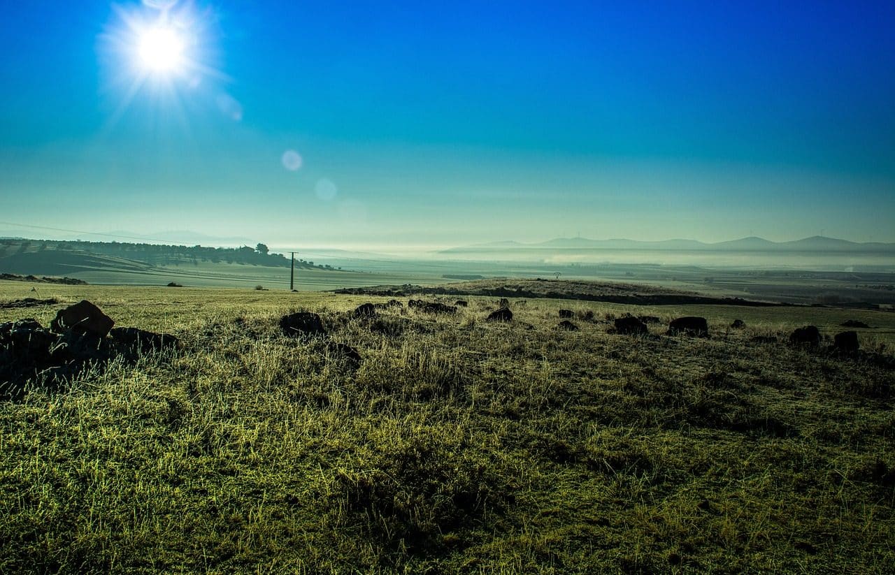
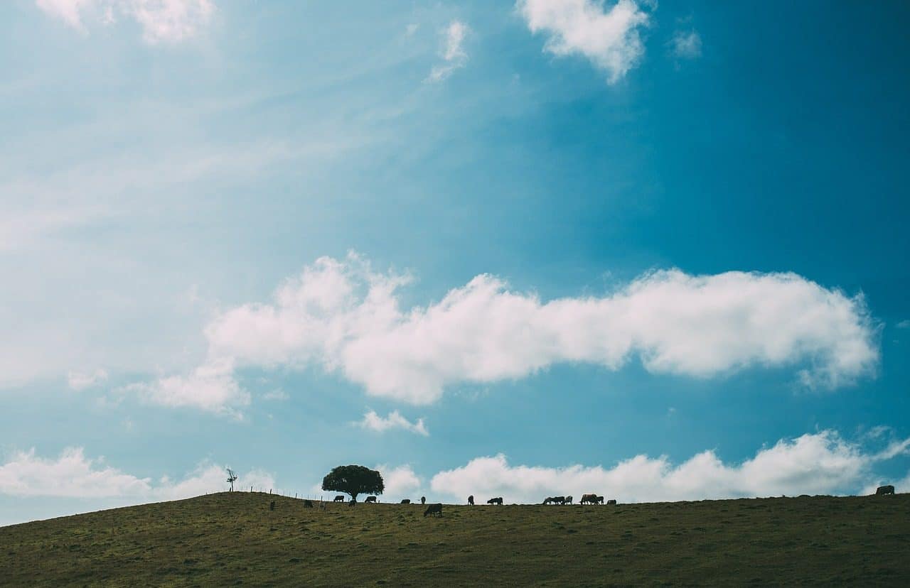
A peneplain is a plain that has some reliefs.
Penillanura is a concept that is frequently used in the field of geography . The term is used to name a surface similar to a plain , although with small elevations that interrupt the plain. The physiognomy of the peneplain depends on the consequences of erosion .
Determining the etymological origin of the term is essential in order to know its meaning precisely. In this regard we can say that it emanates from Latin, since it is the result of the sum of clearly differentiated elements: paene , which can be translated as “almost” ; planus , which is equivalent to “flat” ; and the suffix -ura , which is used to indicate “result” .
What is a peneplain
It can be said, therefore, that a peneplain is a plain that lacks uniformity due to the action of erosion and hydrography , which results in the formation of certain reliefs. The peneplain can be formed from the union of valleys that, over millions of years, give rise to a large quasi-flat terrain.
The development of the peneplain implies the completion of a cycle of erosion , in which the reliefs are destroyed and an almost flat surface remains with little elevation with respect to its base level.
The elements that usually form the peneplains are the remains of large rock formations that, due to the actions of erosion agents, lost elevation. For the process to be carried out, an extensive period of time is needed that is free of interference; Otherwise, the cycle would be interrupted and the land could achieve rejuvenation.
Penillanuras exist in different countries.
Some examples
It is possible to find peneplains in various regions of the world . In Extremadura , an autonomous community of Spain , the peneplain dominates much of the territory. Castilla y León , another Spanish community, also has extensive penillanuras.
In the aforementioned case of Extremadura , it is worth highlighting especially the set of some of its most significant peneplains that have become key to its identification. Specifically, the one of Trujillo-Cacereña , which is located in the province of Cáceres , or the well-known Llanos de Olivenza , in Badajoz , stand out above all.
Regarding the autonomous community of Castilla y León , we have to highlight that its most famous peninsula is the Zamorano-Salmatina , about which it is worth knowing the following information:
- It is located on what is the western edge of the northern subplateau.
- It is identified because it has two fundamental types of reliefs: Appalachian, where soft and hard materials are combined, and granitic, where granite is the main protagonist.
- Two of the most relevant spaces in this peninsula are the landscape of the Sayago batholith or the Sierra de la Culebra , which is located at 1,250 meters high.
- In addition to the aforementioned granite, other materials also predominate in these lands of the Castilian-Leonese region, such as quartzite or slate.
In Latin America , Venezuela has peninsulas in the Guayana region, to cite an example.