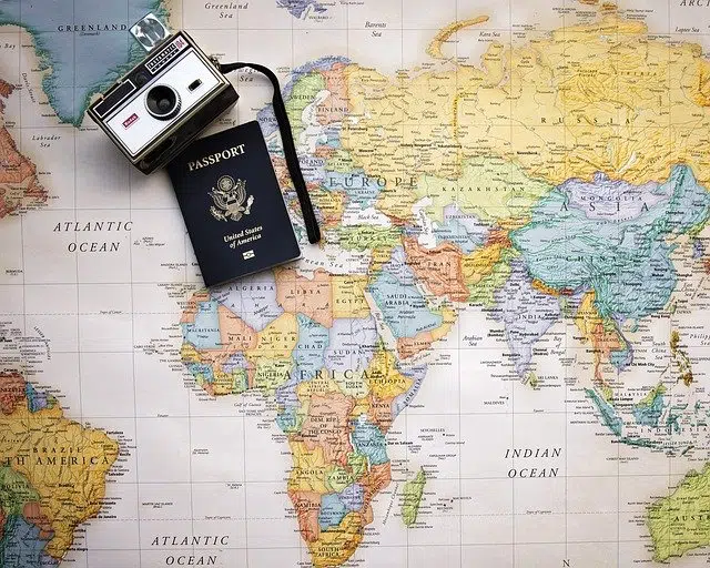
A map is a graphic representation of a territory.
The concept of map comes from the Latin term mappa . It is a drawing or diagram that represents a certain strip of a territory on a certain two-dimensional surface.
For example: "Tomorrow I have to bring a map of Europe with its political division" , "Look for the map because I think we are lost" , "I never go on a trip without a map" .
Usefulness of a map
Since maps are developed with metric properties, they help measure areas and distances with great accuracy. A map, therefore, provides useful data for the development of different activities.
Maps even allow a person to locate themselves in a territory. In this way, a man who arrives in Madrid for the first time can have a map with the streets and places of interest in the Spanish capital so as not to get lost.
cartography
The discipline that is responsible for drawing geographic maps is known as cartography . In ancient times, these routes were developed on land, while now satellite technologies are used.
Historians believe that Thales of Miletus was responsible for creating the first cartographic representation of planet Earth. Aristotle , for his part, was a pioneer in calculating the angular inclination of the Earth with respect to the Equator .
Cartographers often rely on symbols and colors to provide as much information as possible clearly. The amount of data, in any case, is determined by the scale chosen when representing it: the larger the space intended to represent a region, the larger the data flow will also be.
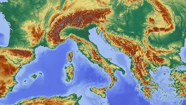
There are different types of maps.
weather map
However, we cannot ignore the fact that there is a great variety of types of maps depending on what they show us and the objective they seek to achieve. Thus, in addition to those mentioned, it is also common for us to make use of so-called weather maps in our daily lives.
These are documents that represent the meteorological phenomena, the fronts and the pressure that will exist in a period of time in a specific area of the world. In this way, we can find out about the temperatures and weather conditions that are going to take place in our city through, for example, the weather maps that appear on the news.
Other types
Likewise, we cannot forget about another type of maps, which are those used in the educational field by the teacher in question with the sole purpose of ensuring that his students can learn in a clearer and simpler way any topic that is being addressed in class.
In this sense, we should talk about the so-called concept maps, which are a kind of summary, a union of concepts, which allow students to understand much better and in a schematic way what is being taught. In the same way, educational maps can also be cited, which also have a clear pedagogical and instructive mission.
Within this same line would be historical maps, which are those that are used to publicize a series of events and historical facts of great relevance.