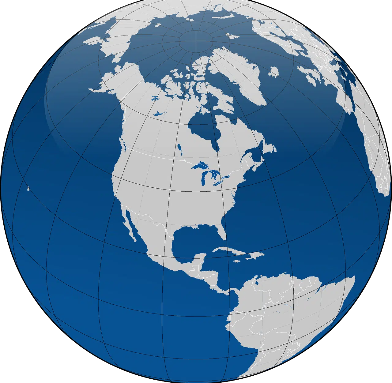
Latitude is the distance that separates a point on the Earth's surface from the equator.
Latitude is a concept that is frequently used in geography and astronomy . For the first science , it allows identifying the distance that separates a point on the Earth 's surface from the equator , calculated and expressed in sexagesimal degrees of meridian.
It can be said that, in this sense, latitude is the angular path that separates the equator from any point on Earth . This measurement is carried out taking into account the meridian to which the angular point corresponds. It should be remembered that the meridians are the great circles of the Earth's sphere that cross the poles, individualized as imaginary lines that allow the time to be established.
North latitude and south latitude
Depending on the hemisphere in question, it is possible to speak of northern latitude or southern latitude . To indicate which hemisphere the coordinate corresponds to, the latitude can include a specification with letters ( “N” or “S” , for North or South ) or with signs ( “+” in the case of the North and “-” for the South ).
If someone wants to express that a point is 28 degrees in north latitude, for example, they will indicate the following: 28ºN or +28º . On the other hand, if the intention is to point out something that is 12 degrees south latitude, the correct way to express it will be 12ºS or -12º .
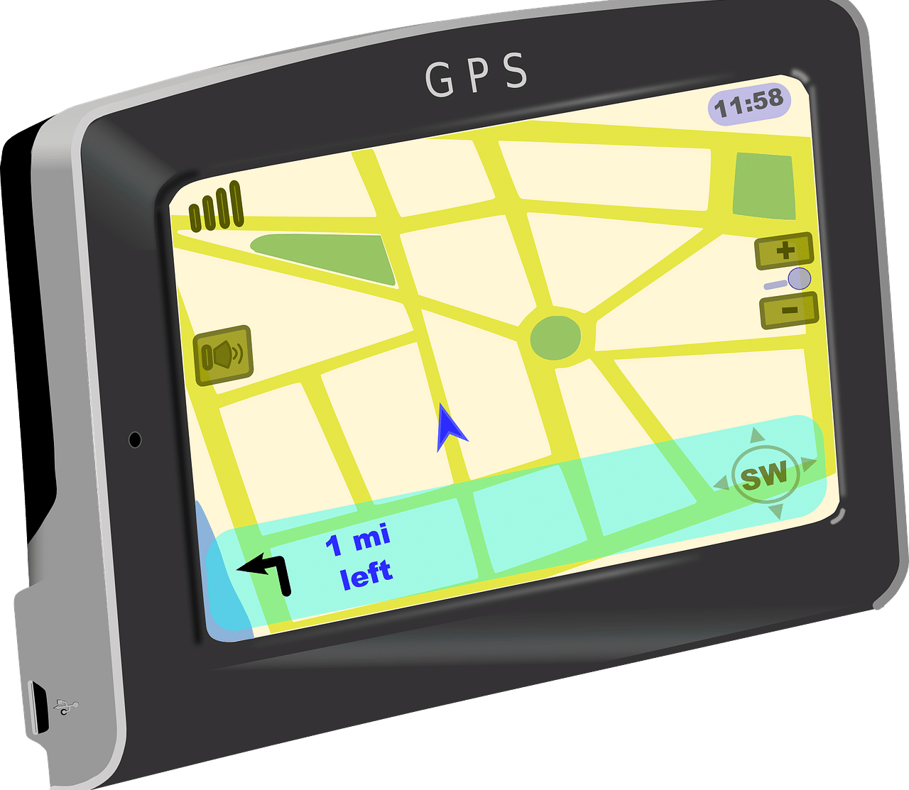
A GPS works with latitude and longitude coordinates.
Link with climate
On our planet , the climate of a particular region is linked in part to its latitude . For example, cities very close to the equator have the highest temperatures and, conversely, the further they are from that latitude, the colder the climate, as is the case with the poles, which are the most distant points from the equator. For a more thorough study of climatic issues and the characteristics of each region, a division has been established into three large latitudinal zones, which are the following:
- Intertropical zone , which is also known as warm, tropical or torrid and is located between the tropics of Cancer and the tropics of Capricorn. There the sun 's rays hit perpendicularly throughout the year, which is why its temperatures are very high and are very conducive to the formation of jungles, deserts and savannahs. A clear example of a country located in this area is Colombia.
- temperate zone . In this case, we can establish a subdivision, taking into account the northern area on the one hand and the southern area on the other; Both are located between the polar circles and the tropics, but the first is between the Arctic circle and the tropic of Cancer and the second, between the Antarctic circle and the tropic of Capricorn. In these regions, where it is common to find a desert, a meadow or a forest, the sun's rays are projected with a certain inclination, which results in a more temperate and moderate climate, which allows the seasons of the year to be differentiated more clearly than in the previous case.
- Polar zone , where you can also distinguish between the northern polar zone, located at the Arctic pole itself, and the southern one, at the Antarctic pole. In these regions, the sun does not shine with intensity at any time of the year, which explains why its temperature is never warm.
Other meanings of the term latitude
Within the astronomical field, on the other hand, the concept of latitude consists of the distance that is recognized starting from the Ecliptic to any point located on the celestial sphere towards a pole. This distance is indicated in degrees.
Other uses of the term refer to the extension of a province, locality, district or a kingdom, and to the smallest of the 2 dimensions observed in figures with flat faces.