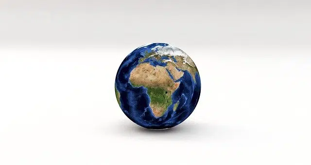
Geodesy defines the Earth as a geoid.
Geoid is a term that, from the perspective of geodesy , allows describing the theoretical appearance of the Earth . This mathematical science has the purpose of determining the magnitude and shape of the terrestrial globe to construct appropriate maps. The concept of geodesy derives from a Greek word that can be translated into Spanish as “division of the earth.”
Specifically, we can determine that geoid has its etymological origin in Greek because that is how we managed to discover it when we proceed to study its formation. In this way we learn that this term is the result of the sum of two clearly differentiated parts such as the word geo , which is synonymous with "earth" and the word eidos , which can be translated as "visual appearance or appearance."
What is a geoid
A geoid, therefore, is a body with an almost spherical shape that shows a slight flattening at its ends . This polar flattening with its consequent equatorial widening is due to the effects of gravitation and the centrifugal force generated by the rotation movement on its axis.
Isaac Newton had already considered that the Earth was a geoid, a hypothesis that was later expanded by Jacques Cassini , Charles Marie de La Condamine , Louis Godin and Carl Friedrich Gauss , among other scientists.
As we have mentioned previously, geodesy, which is a branch of geosciences, is responsible for studying the representation of the appearance of the Earth as well as its surface. But not only about it but also about the various natural and artificial forms that appear in it both from a general point of view and from a partial perspective.

Isaac Newton was a pioneer in considering our planet as a geoid.
Divisions of geodesy
Specifically, this science can be divided into three specific branches:
Physical geodesy . Dynamic, astronomical or classical is also how this aforementioned area is known, whose object of work is the definition of the shape of our planet.
Theoretical geodesy . The force of gravity is, without a doubt, the axis around which this science revolves, where elements such as the rotational movement of the Earth or sea tides are also taken into account.
Cartographic geodesy . The representation of our planet in cartographic or planimetric documents is the fundamental basis of the work of this branch of science, which gives rise to what is known as stereographic or transversal projections.
Geoids and gravimetry
Gravimetry is the technique for measuring the gravity field. According to gravimetric tools, the geoid constitutes a physical surface that is defined by a certain gravitational potential that remains constant throughout its surface. In the case of the Earth , we work with the average surface of the ocean without taking into account the tides, waves, current and Earth's rotation. That is why the appearance of the geoid is not identical to the topography of the Earth, in which endogenous and exogenous forces come into play.
The format of the geoid, therefore, can be established by measuring the magnitude of the intensity of gravity at various points on the surface. The acceleration of gravity increases from the equator towards the poles.