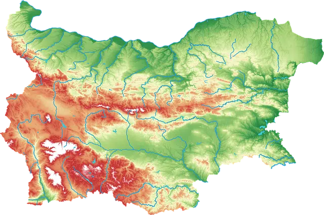
Physiography is physical geography.
The term physiography refers to physical geography : the area of geography devoted to the study of the arrangement of seas and lands . Geography, meanwhile, is the science that is dedicated to describing the planet Earth .
Physiography analyzes the Earth's surface in a spatial and systemic way. As part of his work he investigates the links that occur between the various components of the surface .
It is important to highlight that these relationships give rise to different forms of land. Geoforms are a consequence of the interaction between multiple phenomena and agents that affect the physical environment, from erosion to tectonic movements .
Usefulness of physiography
The knowledge generated by physiography is useful for ecology , hydrology , soil science and other scientific disciplines. Their contributions allow us to know essential characteristics for the use and management of lands.
The notion of physiography also refers specifically to the description made of the forms of the earth according to lithology and relief . In this way we can speak of the physiography of a region .

Physiography provides knowledge about orography, hydrology and other areas.
Variety of landscapes
A municipality, for example, can combine several physiographies. Plains , valleys and mountain ranges , to mention one possibility, are part of some areas. This means that the geography of the place includes flat lands, valleys that are surrounded by elevations and mountain ranges.
In general, when a space has different physiographies, it has a wide variety of landscapes. These conditions also tend to offer numerous possibilities regarding the exploitation of natural resources.
Fields of study of physiography
Physiography is related to a long list of fields of study, sciences that are dedicated to the study of a particular component of the natural space in relation to the rest. Some of the most important are the following:
* orography : the dictionary of the Royal Spanish Academy defines this term with two main meanings: the elevations that we can find in a certain area (such as a country or a region, among others) or the description that geomorphology carries out of are. Geomorphology is the part of geology and geography that studies the earth's surface with a morphological approach, both in the description of its forms and in the study of its origins and its behavior today;
* hydrology and hydrography : these two fields are responsible for studying continental waters, both rivers and lakes and underground water masses. River basins are also of interest, including their flow , their channels, their upper, middle and lower courses, their hydrographic networks, their fluvial regime, their hydraulic use and their fluvial dynamics;
* glaciology : this is considered a branch of physiography. It is responsible for attending to the various phenomena of the present and the past that are linked to water in terms of its distribution, its extension, its features, its dynamics and all the states that it can go through in nature, from the ice sheets of the Antarctic continent and Greenland to hail and frost, without leaving out snow, ice from rain, sea and lakes;
* oceanography : dedicated to studying all aspects of the oceans, from their hydrological, biological, physical and economic features to the movements of their waters, such as currents, tides and waves. Its action on the dynamics of the atmosphere and the hydrological cycle is also of interest;
* coastal geography : focuses on the relationship that exists between the ocean, the planet and the climate . Some of the most important points are the weathering processes of things, the various types of waves and their impact on the beaches, both from a physical and economic point of view.
