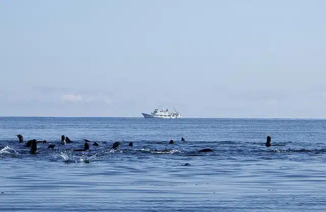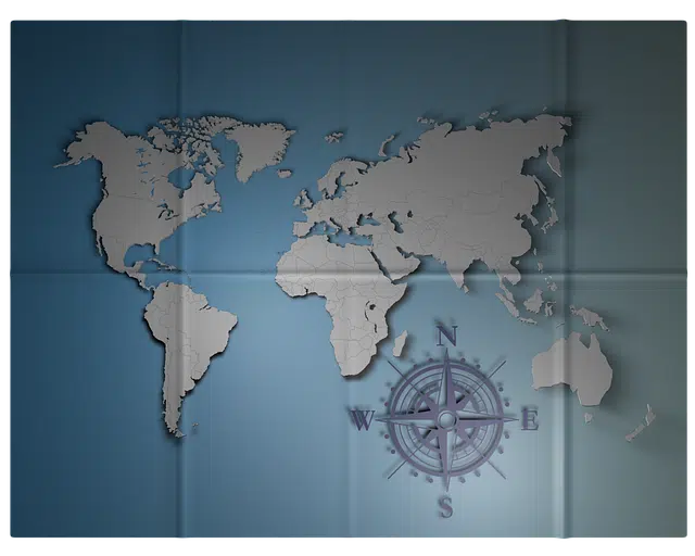
The Bering Strait allows navigation between America and Asia.
The term narrow has its etymological origin in the Latin word strictus . This concept has several uses: in the field of geography , this is the name given to the narrow passage that is located between two lands and through which the communication of two seas is possible .
In the case of the Bering Strait , it is the area that separates Asia and America and allows the connection of the Bering Sea and the Arctic Ocean . It is believed that the first humans to arrive on the American continent did so from Siberia through this strait, although this theory is often a source of controversy.
Formation of the Bering Strait
It is important to note that the Bering Strait was formed where the so-called Beringia Bridge was previously located. This continental bridge extended across eastern Siberia, western Alaska and the area now occupied by the Bering Sea .
The formation of the Beringian Bridge took place in two different periods within the framework of the Würm glaciation . When the level of the oceans dropped, this land bridge appeared.
The Beringian Bridge is believed to have been first developed around 40,000 years ago and stood for around 4,000 years. Then it disappeared and re-emerged 25,000 years ago, this time lasting until approximately 11,000 years ago. With the end of the ice age, the waters rose again and the flood occurred that marked the creation of the Bering Strait separating America from Asia .

The Danish navigator Vitus Bering is credited as the "discoverer" of the Bering Strait.
The exploration
The Danish explorer and navigator Vitus Bering is recognized as the "discoverer" of the strait that adopted his name. This man who was in the service of the Russian navy stood out as a European pioneer in sailing through this area and documenting his journey , although there were other people who also traveled through the region.
The importance of Bering 's work lies in the fact that, after his reports, the Strait began to form part of cartography . It even marked the beginning of uniting Asia and America through navigation through said space.
The Bering Strait Junction
Projects for the physical union of Asia and America through the Bering Strait date back to the late 20th century . In different years, ideas were presented to establish the link with the construction of a tunnel or a bridge .
In recent decades, thus, the possibility of building a tunnel going from the Chukotka Peninsula ( Russia ) to the Seward Peninsula ( United States ) was debated. Inclement weather is the main factor that threatens the evolution of these undertakings, without leaving aside the need to reach political and economic agreements to carry out an international work of such magnitude.
Little human presence
It must be taken into account that the Beringia Bridge was very important for human migration . Experts maintain that it was crossed on foot, allowing travel between both continents .
However, with the development of the Bering Strait , the area was left with a sparse population. There are towns and small cities on both the American and Asian sides and in the middle of the strait are the Diomede Islands .
Nome in Alaska ( United States ) and Lavrentiva in Chukotka ( Russia ) are two of the most populated towns in this area. However, none reaches 4,000 inhabitants.
