The topographic drawing represents the surface characteristics of a piece of land.
In order to know the meaning of the term topographic drawing, we are going to know, first of all, the etymological origin of the two words that give it shape:
– Drawing , first of all, derives from the French verb déboissier , which can be translated as “to draw.”
– Topographic , secondly, it is a word with Greek origin. And it is the result of the sum of three well-differentiated components of said language: the noun topos , which is synonymous with "place"; the verb graphein , which can be translated as "record" or "write"; and the suffix -ikos , which is equivalent to "relative to."
What is a topographic drawing
The tracing that is made on a surface to represent an image is called a drawing . Topographic , for its part, is that linked to topography : the discipline dedicated to the description and delineation of land. The set of surface characteristics of a region is also called topography.
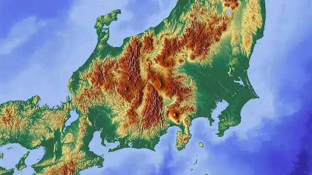
A topographic drawing , in this framework, is a graphic whose purpose is the representation of the surface properties of a terrain . It is a technical drawing since it provides useful data for the analysis, design, construction and/or maintenance of some type of work, installation or infrastructure.
Using a topographic drawing it is possible to represent the height , relief and other characteristics of an area. Those who create these graphics appeal to symbols , accepted by convention, that facilitate the understanding of the information.
Thanks to a topographic drawing, the elevations and depressions of a piece of land can be exposed.
Aspects to consider
When carrying out a topographic drawing, it is especially necessary to pay attention to aspects that are fundamental to create it, such as these:
-Contour lines, which are the representation through lines of the points that are at the same height or below sea level on that terrain.
-Drawing by coordinates.
-The drawing of the profiles.
-The intermediate ones.
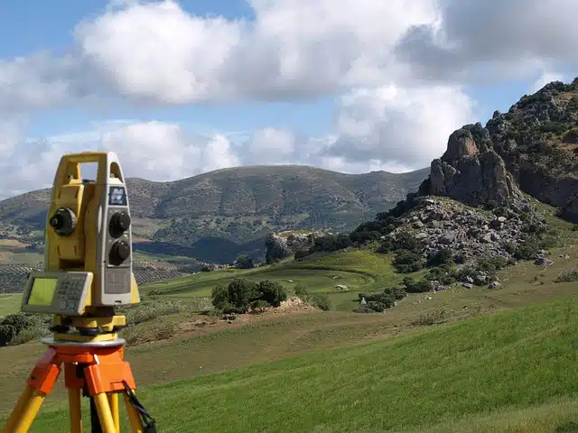
Developing a topographic drawing requires calculations so that the graph accurately reflects the measurements and distances projected on the paper. Otherwise, the drawing will not faithfully represent what is recorded on the real surface. That is why the use of scales and respect for them is very important.
Topographic drawing scales
Regarding the scales, it must be established that basically there is a convenience regarding them that usually classifies them into three distinct ones:
-The small scales, which are those that range from 1:12,000 onwards.
-The medium or intermediate scales, which are those that range between 1:1,200 and 1:12,000.
-Large scales, which are those based on the proportion 1:200 or less.
The usual thing is that the ones that are used the most are the medium and large ones.
A representation
It must be taken into account, on the other hand, that topographic drawings are flat , while the terrain has curves, depressions, etc. When making a topographic drawing, projections are used to minimize distortion.
With a well-made topographic drawing or map, in short, you can obtain an accurate representation of the features and shapes of a terrain .