Hydrographic basins, whose surface runoff has a single outlet, are delimited by watershed lines.
Hydrographic basin is the name given to the territorial area in which surface waters flow in a single direction, that is, they are directed towards the same sea , river or lake .
It is important to learn what and how a hydrographic basin is, and it is also necessary to focus on its value, since when establishing a border it is usually taken as a reference to the watershed . This last expression refers to the boundary between a pair of adjacent slopes or basins .
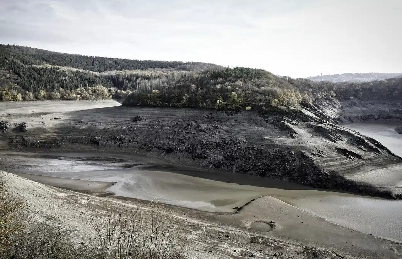
There are three well-defined stripes in this type of territory: a high one, concentrated at the head of the hills and mountains; a middle zone where the accumulated waters end up joining in the highest part and in which there is an unmistakable channel with respect to the main river, and a low basin that is characterized by being the area where a stream of water flows into wetlands , estuaries. or major rivers .
Types of watershed
There are several types of hydrographic basins , which differ from each other due to the particularities they present.
The arhoeic basin is one whose waters do not reach a drainage network because they end up filtering or evaporating first. Examples of this category are streams , streams and ravines .
The endorheic basin , also classified as an internal drainage system or closed basin because it lacks an outlet, has an outlet into lagoons , lakes or salt flats that do not communicate fluvially with the ocean. All precipitation or raindrops that fall in this type of basin remain in the river system unless evaporation or infiltration phenomena occur.
The case of the exorheic basin is different, usually mentioned as open, which has at least one outlet to the sea, a lake or a more important flow.
On the other hand, it is enriching to know that at the bottom of the sea, in the deepest part, there is a very wide depression called the ocean basin . For some experts, these territories may or may not exceed sea level and be basaltic plains, while other specialists in the field conceive them as complements to continental areas dominated by erosion processes that, as a consequence, generate sediments that end up reaching the aforementioned ocean basins .
Nor should we overlook the concepts of micro-basin (smaller in size compared to conventional hydrographic basins , having a drainage area of less than 500 km2) or sub-basin (as each division of hydrographic basins is known, surfaces whose surface runoff manages to flow completely through rivers, streams, etc. in the direction of a certain point belonging to a specific water course), two notions that should be clear in terms of meaning or definition in order to avoid confusion.
The main rivers are characterized by having a considerable length of drainage or greater flow, while the secondary ones are called tributaries and have sub-basins.
Features and elements
With the aim of helping you learn and know more about hydrographic basins, below we will focus on the characteristics that make them unique and the elements that make them up.
Firstly, factors and variables such as the coefficient of both branching and shape become relevant, serving to give indications about what type of flood wave a basin can trace, and the so-called hydroelectric potential also appears as an indicator of the potential at the hydroelectric level. surface elevation curve .
The limits of each of the basins are marked by the watershed line that has already been mentioned a few paragraphs above. On each side of this border, precipitated water is detected whose mouth occurs in tributaries or different rivers .
In this area, the main river is also referred to in order to identify the watercourse with the most considerable flow , which has a significant drainage area or a great length. On the other hand, the rivers that remain in the background , of a secondary nature, are tributaries , each of them having a subbasin .
Plateaus, plains, torrents , valleys and mountains, finally, make up the relief of the basins .

Endorheic lakes are known as those where water evacuation does not occur at considerable levels, thus evaporating the water collected from the hydrographic basin on its surface.
Examples of hydrographic basin
On a global scale it is possible to identify a wide number and variety of hydrographic basins . For reference, in the following paragraphs we will give space to some of the most recognized ones.
Among those that stand out for their extension is, for example, the Nile basin , which is estimated to cover around ten percent of the African surface, with more than a dozen nations sharing its waters. For its part, the Yangtze basin constitutes a large water resource for almost half of the Chinese region.
The water drainage of more than thirty North American states arises, meanwhile, from the Mississippi basin , while in South America the Amazon basin is distinguished (whose drainage is carried out by the river of the same name and its tributaries) for its ability to transport enormous volumes of water to the Atlantic Ocean .
The Ganges basin , to describe another transcendent case, is worth noting since on a global scale it is considered the river basin with the largest number of inhabitants.