
Continents are large land masses.
Making an exact definition of a continent is more difficult than one might imagine. A continent is a large unit of land that can be distinguished from smaller ones (such as countries ) for reasons of geography or culture.
There is no specific number of continents: it all depends on the perspective followed when distinguishing between one continent and another.
The six continents
Through one of the most common ways of listing and characterizing them , we obtain the following list:
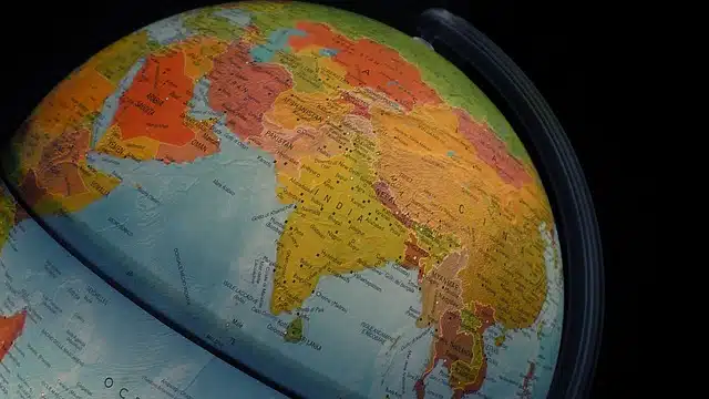
* Africa , which is distinguished from Europe by the separation of the Strait of Gibraltar and from Asia by the Suez Canal ;
* Antarctica , which is located in the area surrounding the South Pole ;
* America , separated from Asia through the Bering Strait . It is usually divided into three subcontinents: South America , Central America and North America ;
* Asia, region limitada por el océano Indian y el estrecho de Bering;
* Europe , which extends to the Iberian Peninsula ;
* Oceania , located southeast of the Asian continent.
The number of continents varies depending on the classification chosen.
Other divisions of the world
According to this notion, there are six continents: Africa, Antarctica, America, Asia, Europe and Oceania. There are those who even consider that Europe and Asia form a single continent (known as Eurasia ), while others add Africa to this entity ( Eurafrasia ).
Another trend includes the Australian continent , also known as Sahul , which would be composed of continental Australia , New Guinea , Tasmania and the eastern island territories of the Malay Archipelago starting from the Wallace line .
Some data about the continents
If we refer to the most common division, the largest continent is Asia (with an area of 43,810,000 square kilometers), followed by America (42,330,000), Africa (30,370,000), Antarctica (13,720,000) , Europe (10,180,000) and Oceania (9,010,000).
When taking into account the level of population , Asia occupies first place. Behind them are Africa, America, Europe, Oceania and Antarctica, in that order.
Development of the current territorial masses
Thanks to the studies developed over the years by scientists from different fields, such as historians, physicists and geologists among many others, we know that everything on Earth , even the enormous continental masses, is in constant motion.
There are many opinions regarding the formation of the Earth and its division into the continents that we know today, the most accepted being the theory of Pangea , which was proposed by the German meteorologist and geophysicist named Alfred Wegener .
Wegener claimed that Pangea , formed around 300 million years ago, had been the product of the unification of large fragments of land (continents) that were separated at that time and had joined together forming a single continent completely surrounded by water, an ocean called Panthalassa .
The evolution of the continents
After 20 million years of evolution and due to the centrifugal action caused by the Earth's rotation, this continent began to fragment and move . This rupture originated simultaneously in both the North and the South, leaving two widely distinguishable blocks: to the north were what we currently know as North America and Asia , united, a region that received the name Laurasia ; On the other hand, to the south, our Antarctica , Australia and India , made up the so-called Gondwana . Their division continued progressively, until the map of the Earth acquired its present appearance and distribution.
The displacement of land masses has never ceased; Since the separation of the continents, the earth has continued to move and, according to some scientists, it is very possible that in the future all the continents will be unified again . This idea of the return of Pangea is fascinating and raises many questions. Will it be possible to live so close to each other?