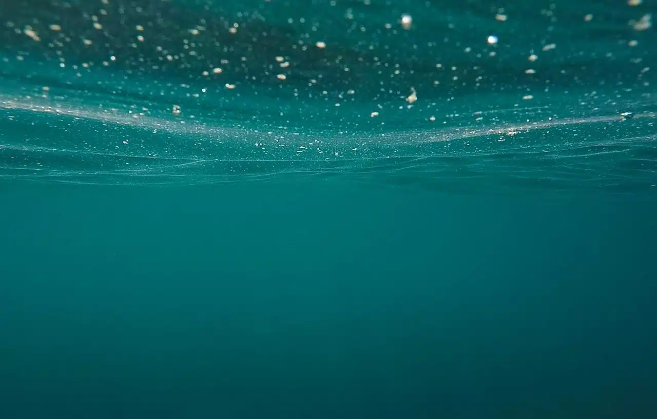
Bathymetry studies the deep sea.
Bathymetry is a notion that is formed from the Greek word bathýs (which can be translated as "deep" ) and the suffix metric . The concept is used in the field of geology to refer to the analysis of the deep sea .
Bathymetry is analogous to altimetry : while the first is responsible for studying depths , the second is focused on heights. Bathymetry experts are in charge of drawing isobath maps (curves that cartographically represent points of identical depth in large lakes and seas). In addition to these maps, specialists also study the distribution of living beings in isobatic regions.
Bathymetry function
It can be said that bathymetry is responsible for drawing maps ( bathymetric maps ) to present information about the ocean or lake bottom, measuring the depths. Originally, a cable with a great weight was lowered from a boat: when it reached the bottom, the measurement was made. This method only allowed depth to be measured at a single point and its results were subject to currents, tides and other variables.
Currently, bathymetry uses a sonar that is installed on a ship and emits sound waves towards the ocean floor. Depth measurement is done through the time it takes for the sound to sink to the bottom, bounce back, and return to the device. Along with sonar, it is common to use GPS systems that report the exact location of the vessel in question.
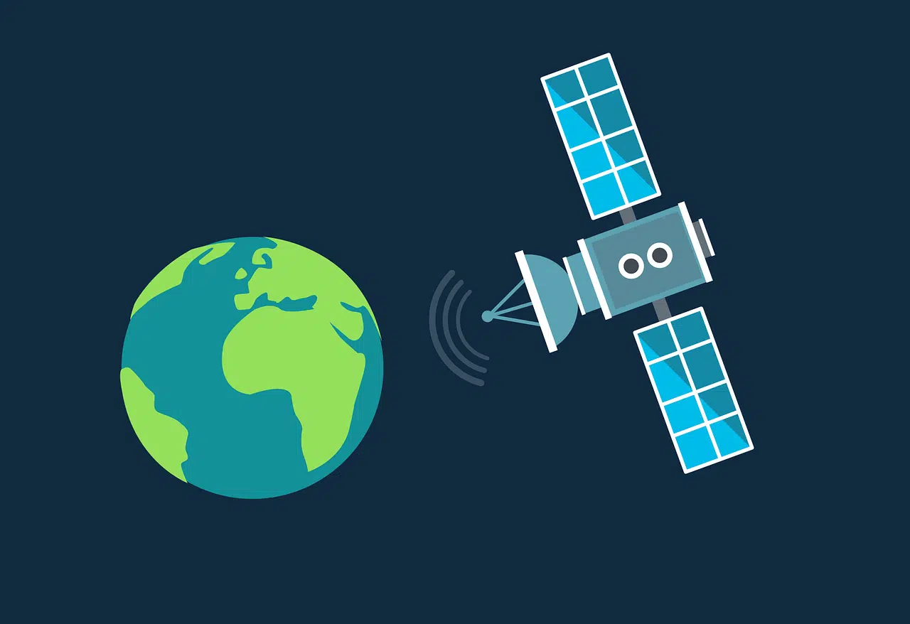
Currently, bathymetry usually uses GPS systems.
Other information of interest
In addition to those already presented, other data of interest about bathymetry are the following:
- The origin of bathymetric measurements is considered to be in Ancient Egypt . At that time, what they did to carry them out was to use a stone tied to a rope.
- Until the appearance of GPS systems to undertake bathymetry, it was made up of two types of work: planimetry on the one hand and what is called classic topography or altimetry on the other.
Types of bathymetry
There are various types of bathymetry that are fundamentally based on the systems or tools they use. Among the most significant we can highlight the following:
- Laser bathymetry . As its name indicates, it uses a laser system and has the peculiarity that it can study depths between 2 and 30 meters.
- Photogrammetric bathymetry , used in areas with very shallow waters.
- Remote Sensing Bathymetry . It is considered to be one of the systems that has managed to obtain the most effective results in shallow seas. This is achieved by using satellites such as SPOT, GEOSAT or RADARSAT .
- Bathymetry by photographic procedures . It is also used for shallow areas and is based on the study of the variation of the visible spectrum .