Altimetry is a branch of surveying.
The branch of topography specialized in measuring height is called altimetry . It should be remembered that topography is the discipline that is responsible for the detailed description of surfaces.
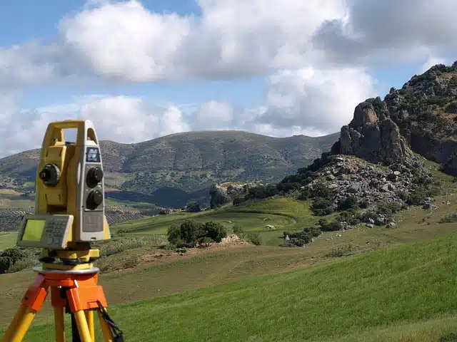
Also known as hypsometry , altimetry encompasses various processes, methodologies and techniques for determining and representing the height of a point, taking into account a certain reference plane. In this way, altimetry makes the representation of relief possible.
The instrument that allows knowing the distance in height that exists between a point and the reference plane is known as an altimeter . Thanks to this instrument, you can discover how high a point is above sea level .
Altimetry in aviation
Altimetry, in this way, is present in aviation . The altimeter is among the most important flight instruments, as it constantly measures how high an aircraft flies. To provide this information, the tool calculates the distance that exists, vertically, between the aircraft and sea level.
This makes altimetry key to aviation as flight paths are organized based on altitude . An aircraft, therefore, has to fly at a certain altitude according to the route assigned to the pilot; This data comes from the altimeter.

Altimetry is aimed at measuring altitude.
Other information of interest
In addition to everything stated above, it is worth knowing other information of interest such as these:
– In altimetry, what is known as leveling plays a fundamental role. This is an operation that aims to discover the level distances that exist between the various points of the same terrain. For this, data such as the reference surface, elevation, contour line, altitude, mean sea level will be used.
– Altimetry and this leveling will play a fundamental role in the implementation of countless projects, such as the drainage of towns, the construction of roads, the implementation of railways, the implementation of canals or viaducts. , the raising of bridges of considerable size…
Altimetry in sports
Various sports , such as skydiving, mountaineering and skiing, also use altimetry. In these cases, the altimeter allows us to know what type of slope the athlete is crossing and how his ascent or descent is developing.
What's more, within cycling altimetry also plays a fundamental role since it allows the organizer of a race to determine the climbs that the race will have until the runner can know at all times which are the hardest sections and that will require more. effort of the entire test.
Of course, it goes without saying that it is also very useful for athletes who practice pedestrians. Thus, when athletes train for competition, thanks to altimetry data, they can prepare much better. Knowing this information will help them know at what times during the route they should make more effort, what their heart rate may be...